Meet Edwin Mwiti
Meet Edwin Mwiti, ITF’s Africa GIS Officer. His role ensures that our trees are planted in the best possible way so that they grow and thrive for generations.

I am responsible for ITF’s Geographical Information Systems (GIS) and Remote Sensing technologies in Africa. Basically, I ensure that the highest monitoring standards and protocols are met across all our projects.
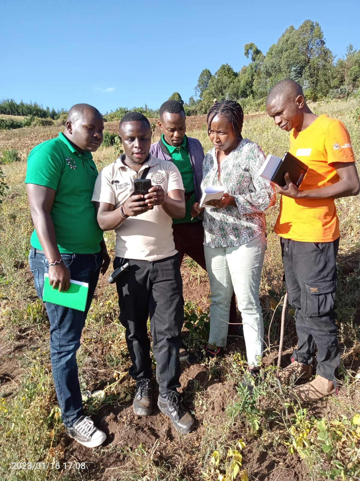
Day to day, I am usually out in the field helping communities make the necessary preparations for upcoming tree planting activities. This involves inspecting and aligning boundaries, determining tree spacing and the number of trees to be planted in specific projects.
I also provide technical guidance to ITF partners and community volunteers and (remotely) spearhead project monitoring for all trees planted across our projects using ITF’s mobile app and a database. And I provide data analysis and interactive maps to showcase our work.
Mapping our projects in 2022
When working with communities, we use a participatory model whereby we train them how to monitor trees they have planted. This move has helped them change their perception about projects we do with them and they are now owning the process.
A successful project requires good monitoring. We expect a minimum of 85% survival rate of trees. Data means we can take early action to avoid situations whereby things go out of control. If we measure a lower survival rate we are able to recommend a solution early enough.
ITF now has a Tree Survival and Sustainability Fund (think of an insurance policy) where in case of prolonged dry seasons or outbreaks of wildfires, it can be used to take measures that increase tree survival rate or facilitate replanting.
It makes me happy to see the local communities we’re working with embracing ITF’s initiative on their farms and adjacent forests. Forests are now forming canopies and water streams are coming back. People are not travelling such long distances as they used to go for watering their animals or for domestic use.
What’s more, I’m deeply moved that people are willing to better understand and adopt GIS and Remote Sensing technologies and that I am able to access all the data they record and upload into our database platform to share with the communities as well as current and prospective partners and supporters.
Donate today
Help plant trees that grow and thrive for generations.